I’ve now completed two participatory mapping sessions with groups of workers at the factory I’m researching. The aim of the maps is to understand where and when workers of different ethnicities come into contact with people of other ethnicities. In a district where Tamils, Muslims and Sinhalese reside, it is surprising to see that so far, the only time my participants come into contact with people of a different ethnicity to their own is when they’re at work.
Baba G will teasingly roll her eyes and mock me for being ‘such a geographer’ whenever I start talking about maps. It’s true. I love maps. They say a picture’s worth a thousand words; a map’s worth ten times more!
I first created a large basemap myself; I would have liked to have done this with my participants, but sadly, due to time constraints, it just hasn’t been possible. So, I tried only to put down very basic information, such as main roads, main towns and main lakes as additional reference points. I wasn’t sure how clued up on maps my participants would be, because despite having been to school, whether they’ve used maps much in the past is questionable.
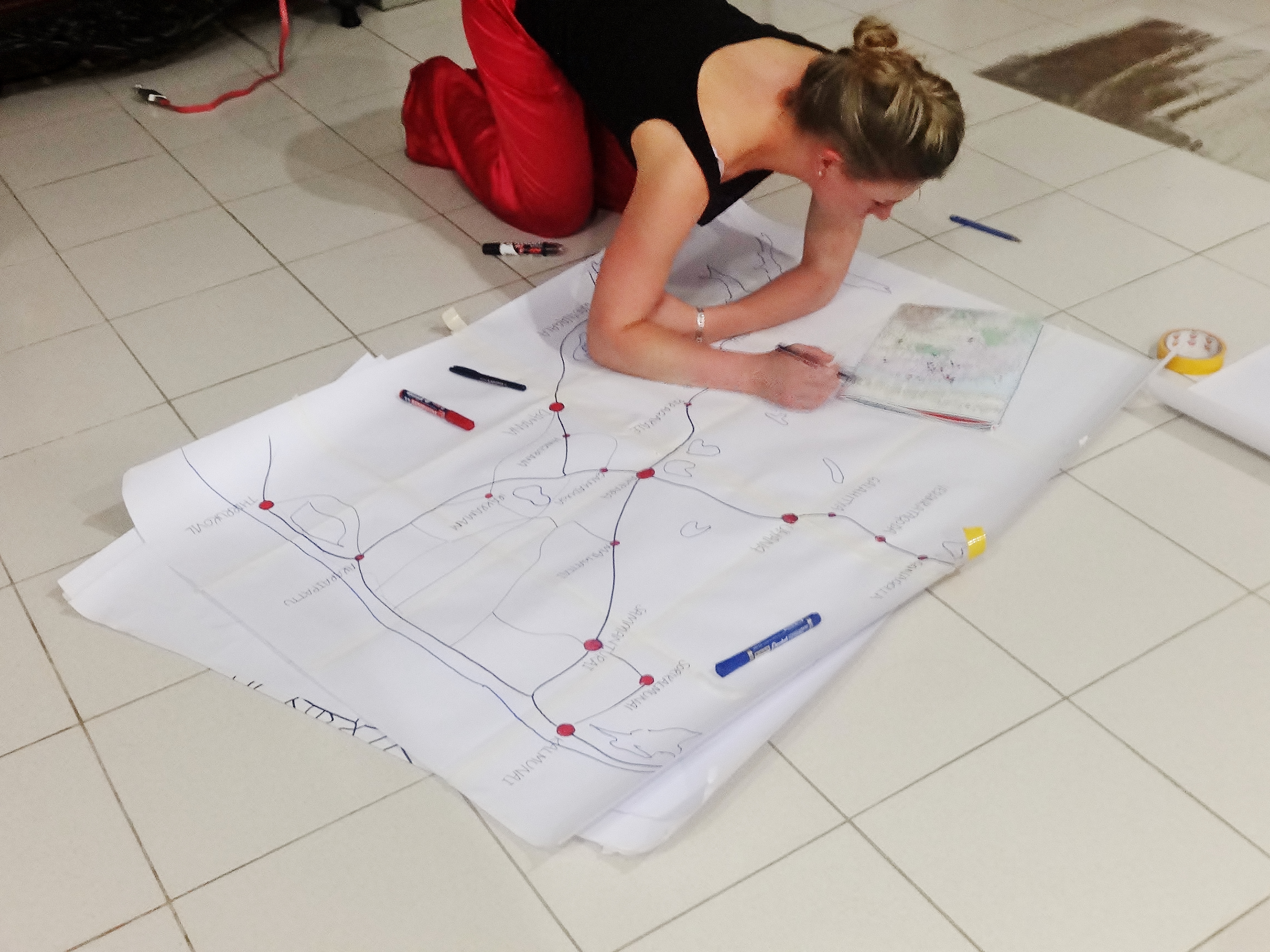
Preparing a basemap, using a purchased tourist map of Sri Lanka for reference.
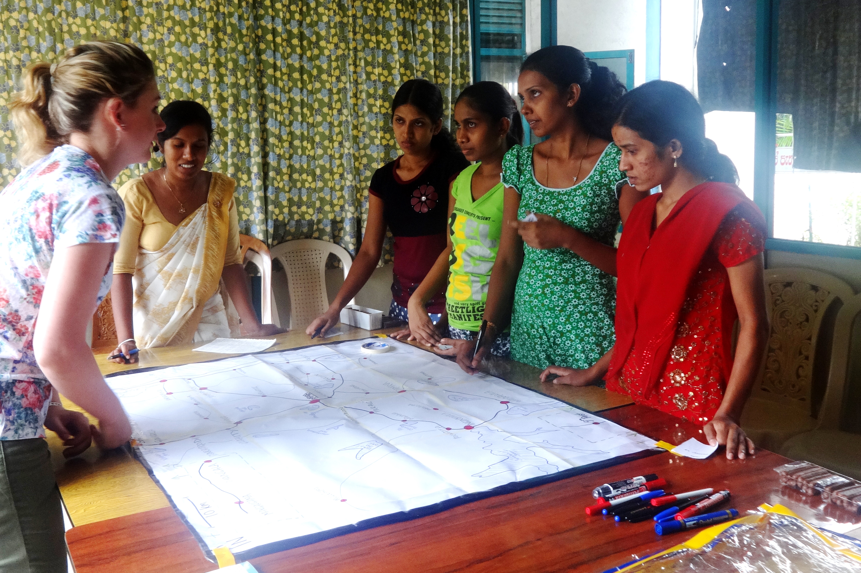
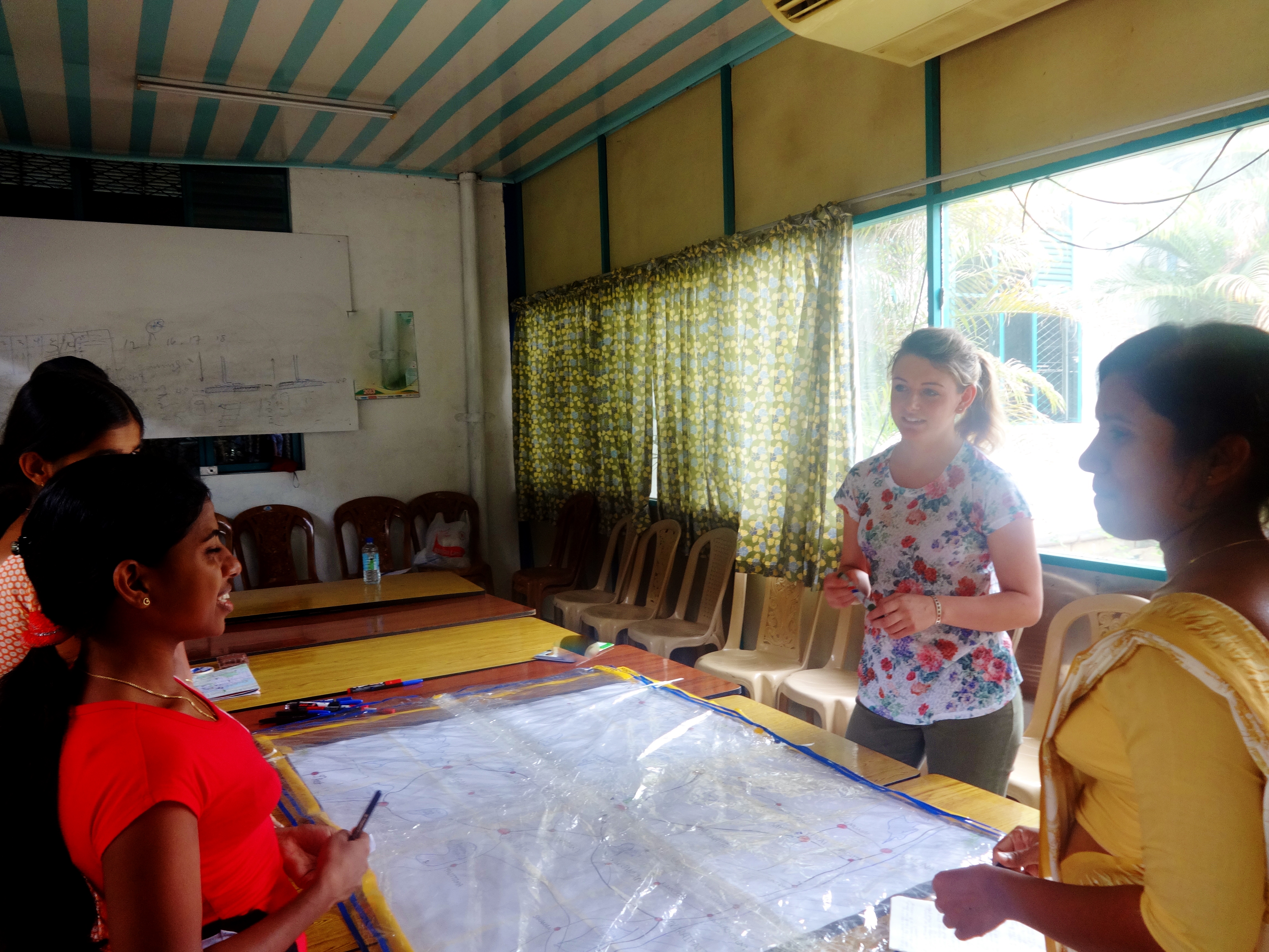
I also prepared some large plastic overlays: one for the morning, one for the evening, and one for the day off, on which the girls can mark where they are, and what they’re doing, at what time. This not only helps me to visualise where Tamil, Muslim and Sinhalese paths cross, but also what places and activities in the district hold meaning for the employees. Again, I was going to have more overlays – separate ones for lunch in the factory and tea break in the factory, and a map showing the bus routes to work, but with only a half hour slot with each group, it just isn’t feasible. The overlays that have been removed from the sessions are ones for which information can be very easily gained elsewhere. Lunch time and tea break locations of workers in the factory, for example, can be deduced through participant observation, which I’ve been doing a lot of anyway, so I already have a pretty good idea of who goes where with who. Information regarding bus routes has been provided to me by HR, and I’m simply asking the girls to write down which bus route they take. The photo below shows everything prepared and ready, including choccy biscuits on the table – a little ploy to make the atmosphere a little more relaxed and welcoming, along with having opened the curtains in the room to allow more natural light to flood in.

Ready to begin.
I need to think about what to buy for Padma to thank her for all her translation skills! She’s been invaluable, and the other employees seem very comfortable with her, which is a relief. She is always smiling and laughing, and everybody seems to understand when she explains to them, so that’s fantastic! It’s really helped to make sure the girls are happy being there, and that there are no uncomfortable moments. Padma arrived a little late to my session yesterday, but I’ve learnt enough Sinhalese to get by for long enough, and there are now girls I know as friends in each of the groups, so that helps to break the ice with other participants too.
Me with the first group, and Padma translating at the side
More from the first group – this was at the end of the session, as I was explaining that I’d find them all in a week or so and give them a little something to say thank you.
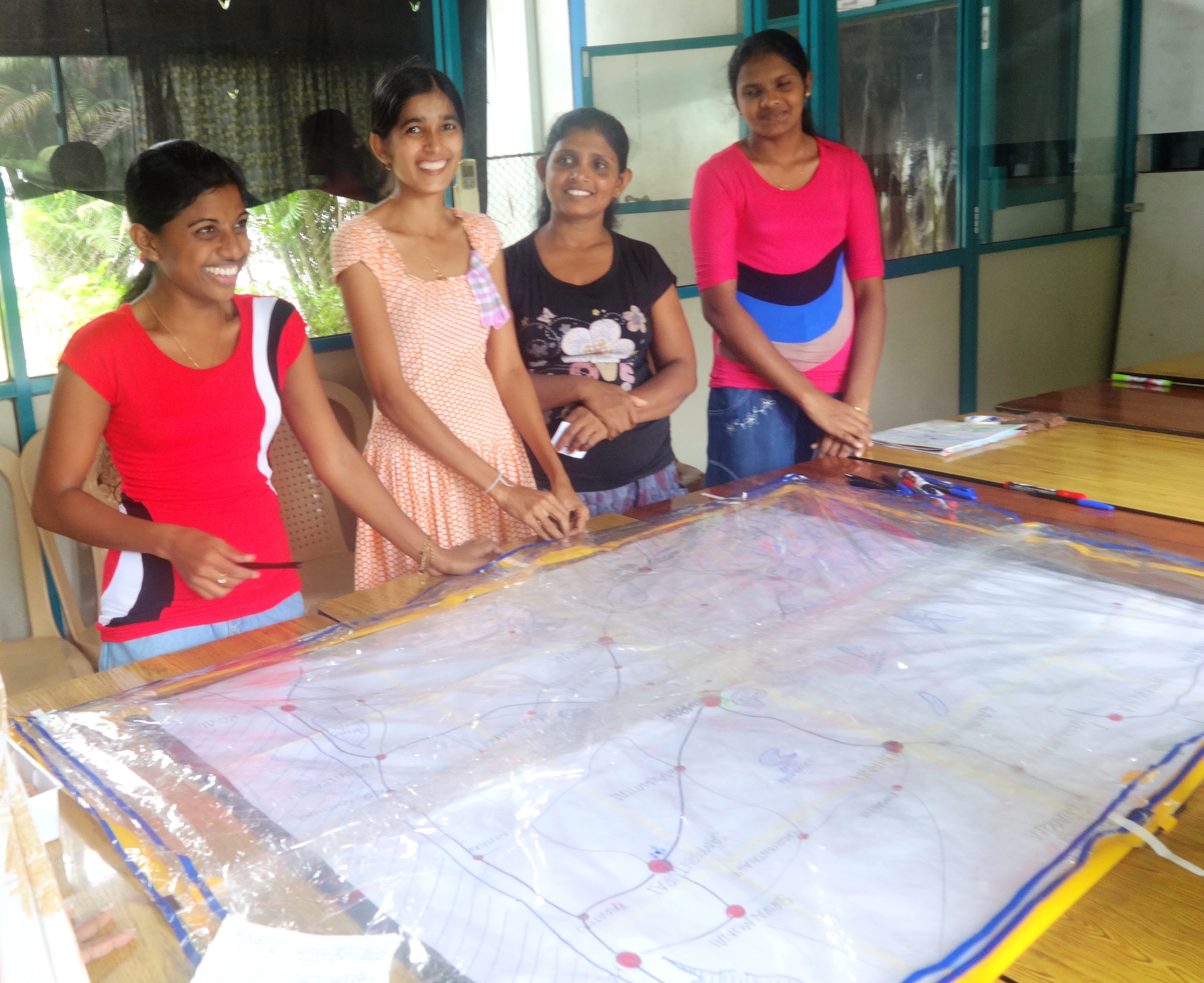
The first group somehow arrived in two separate groups of four, which is why they’re all standing at one edge of the table. Thankfully, in yesterday’s session all 8 turned up at the same time, so there was a nice crowd around the table, munching on chocolate snacks as they placed their details onto the map.
Explaining the session to the first group, with the de-curtained window behind me
One downside of yesterday’s session was that three men had been having a meeting in the room before I wanted to use it. I asked Dharma Sir about this and he said it wouldn’t be a problem, and that I could use the room as planned at 12:30pm. I hadn’t realised that this meant the men would continue their meeting alongside my participatory mapping session, so at times there were competing voices, but thankfully the girls didn’t seem too fazed by it! I think I’ll be holding the next session tomorrow – I’m just hoping it goes as well as the first two!
All the data that I am collecting will be inputted into a GIS to create a basic time-map of the district and the employees’ movements through the district. It’ll be great watching it all come together.

Such a geographer :p – Baba G
Typical that THIS is your first comment on my blog. Can you not even attempt to be a little more constructive?! 🙂